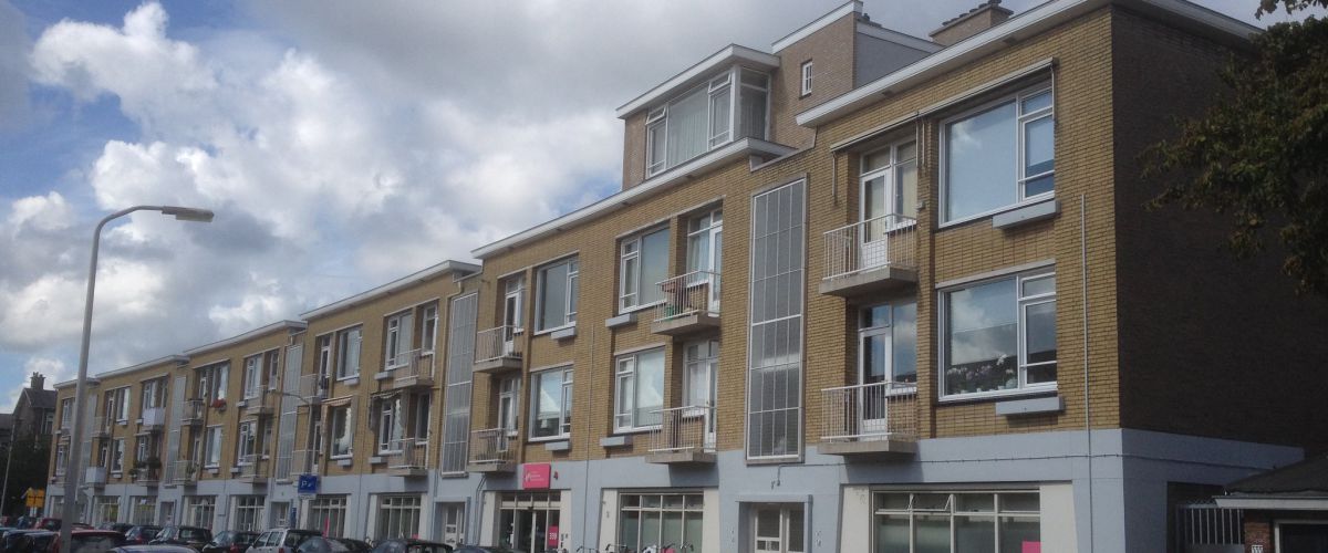
This is a new suburb of The Hague
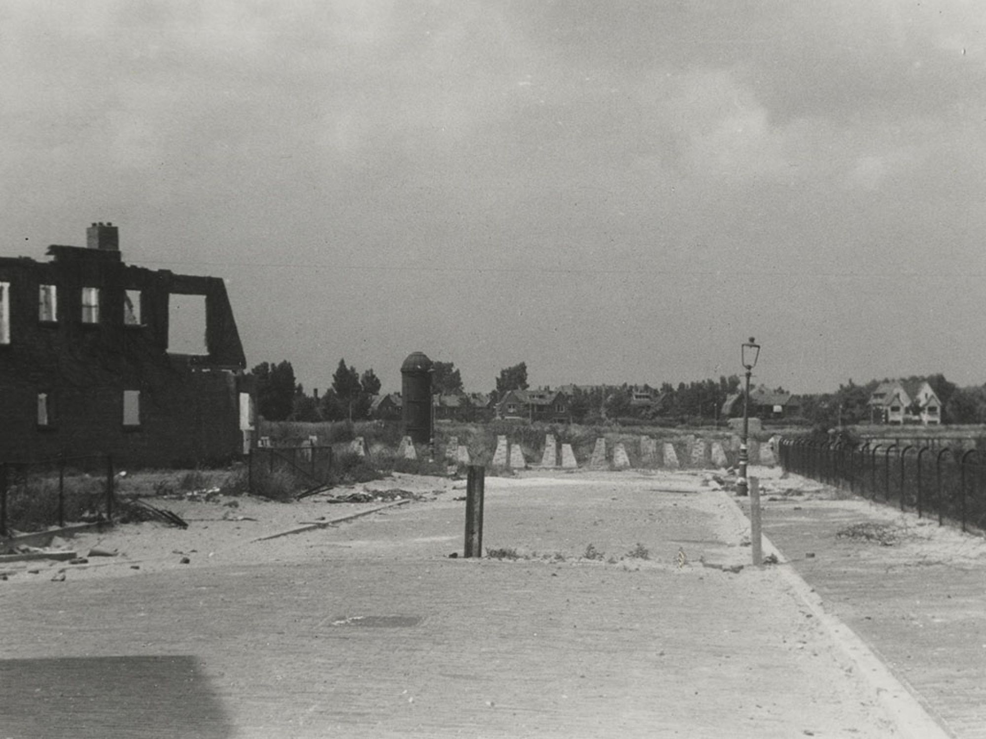
This area is known as the Bomen- en Bloemenbuurt. At this point, it divides into two parts. On one side, you see a residential suburb of The Hague built in the early 20th century for middle-class occupation. On the other side, the buildings were demolished to make way for the Atlantic Wall and the present street scene is the result of Dudok’s post-war reconstruction plans.
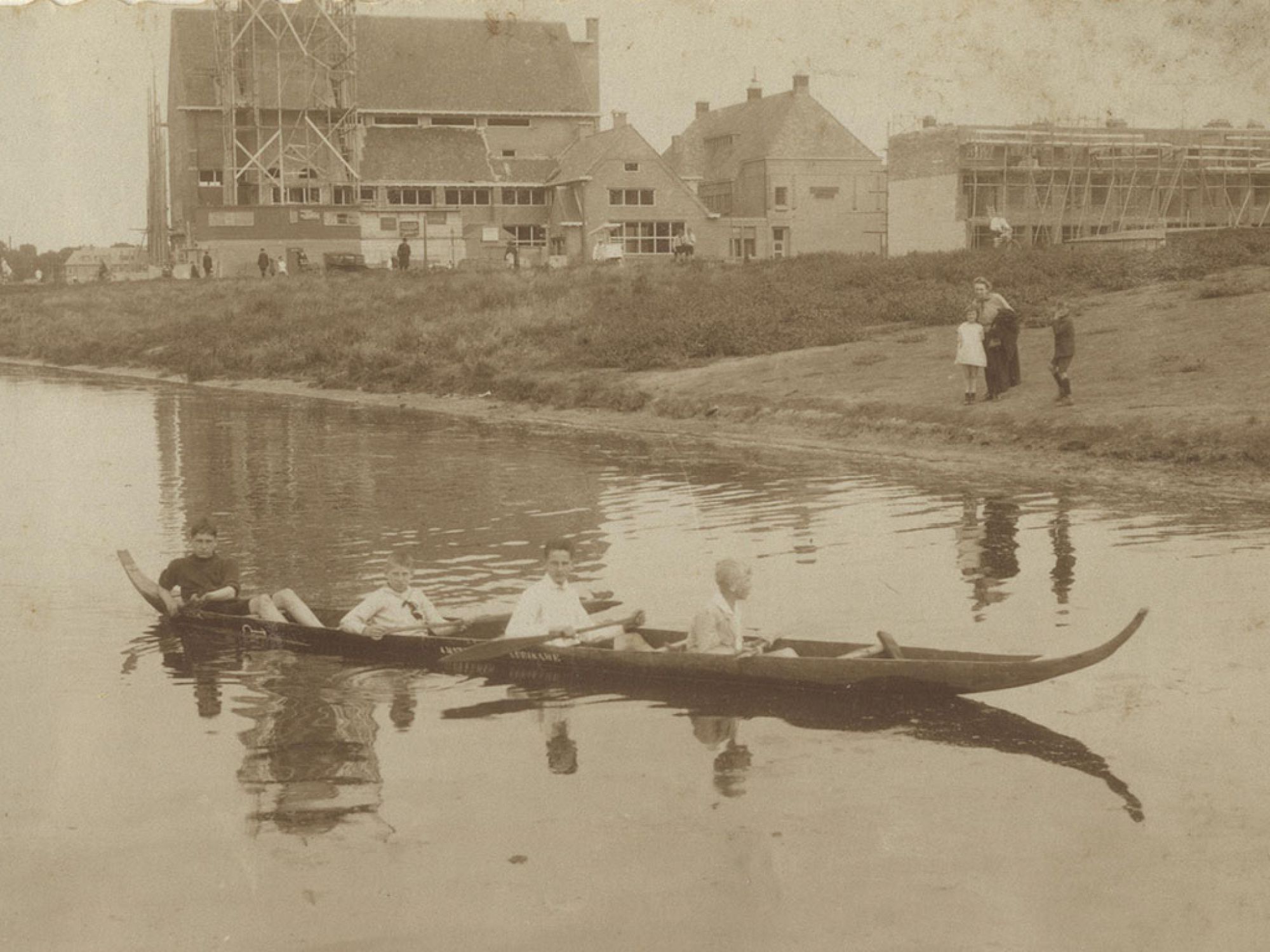
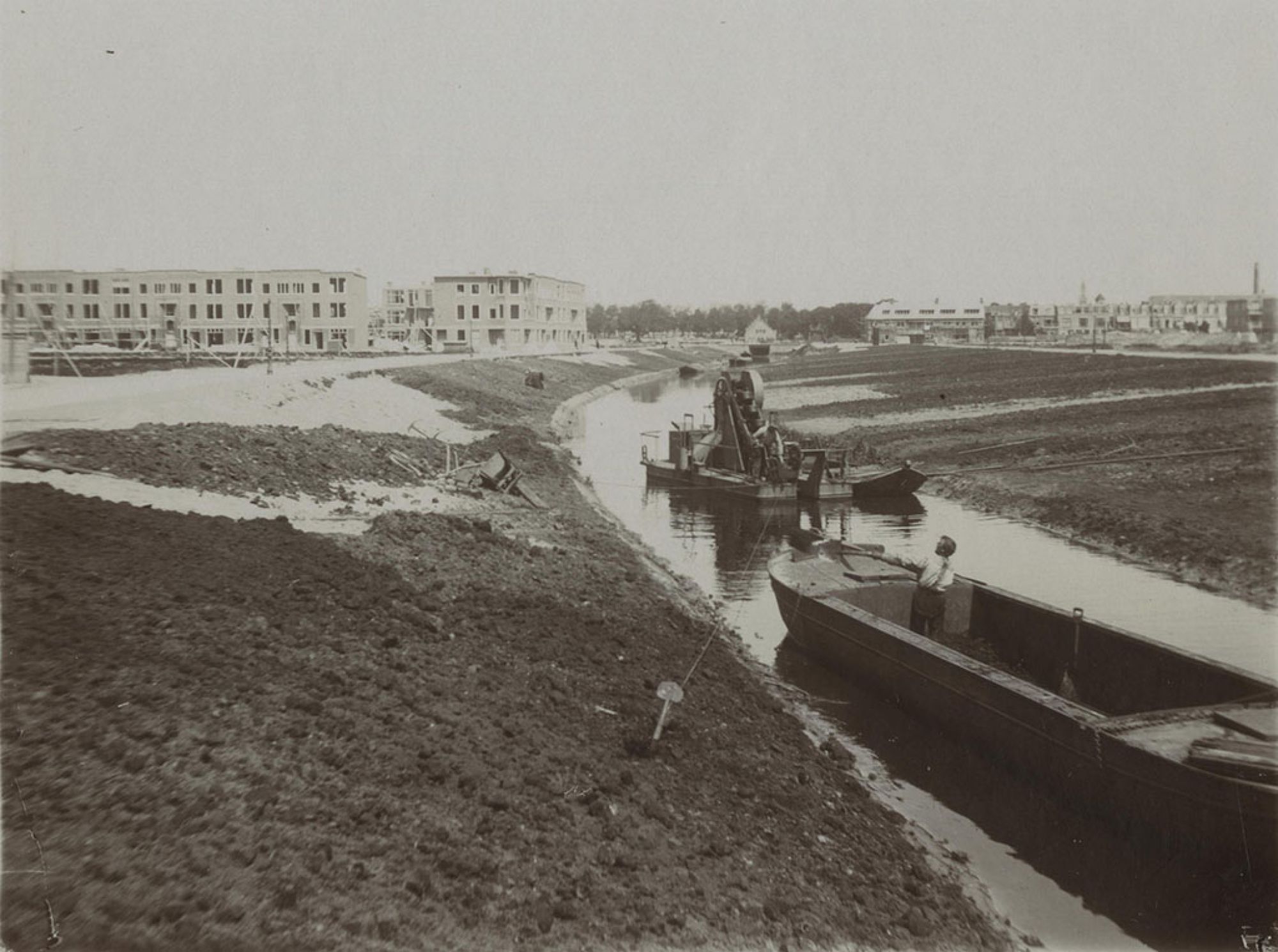
The site of the Bomen- en Bloemenbuurt was once a ridge of sea sand. This was extracted in the 19th century, partly to provide building materials for the expansion of The Hague. Navigable canals were built to transport the sand. The Valkenbosvaart is one of them.
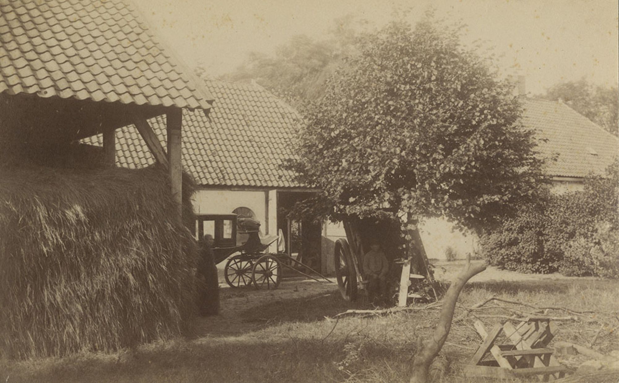
Architect H.P. Berlage designed a new residential development for the site and building started in 1911. The farms in the area, including one called Hanenburg, were demolished to make way for the new development.
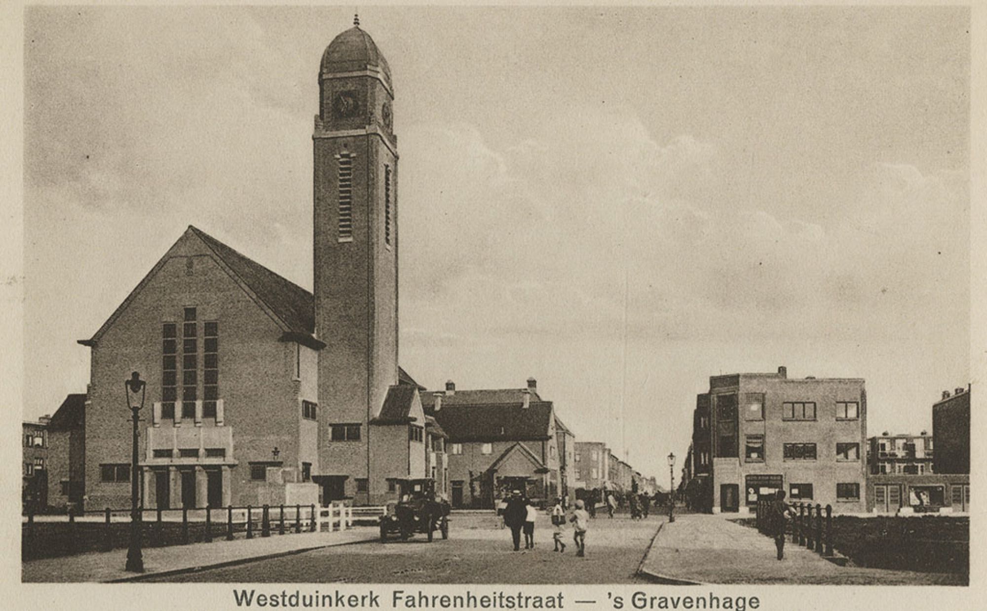
Hanenburglaan used to be broader than it is now. In the middle of it was a canal with townhouses on both sides. On the corner of Fahrenheitstraat and Hanenburglaan there was a church called the Westduinkerk. Its tower was demolished during the war, on the grounds that it might be used as a landmark by Allied aircraft. The remainder of the church was knocked down in 1991.
Photographed