One of the greenest neighbourhoods of the city
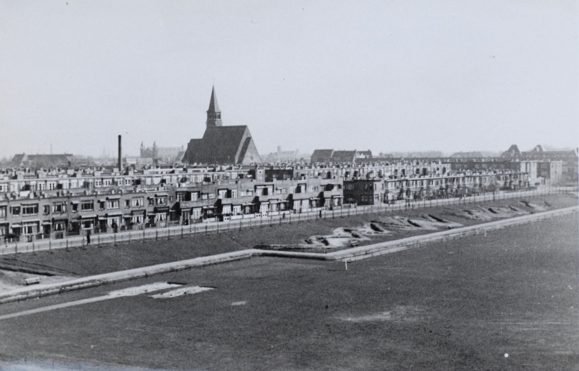
Before WW II this area was called Stokroosplein (Hollyhock Square). It was established between 1922 and 1926 as a peaceful green residential area free of large motorways. The homes had front gardens and the close proximity of the Bosjes van Pex wooded area and Wapendal nature reserve was an advantage.
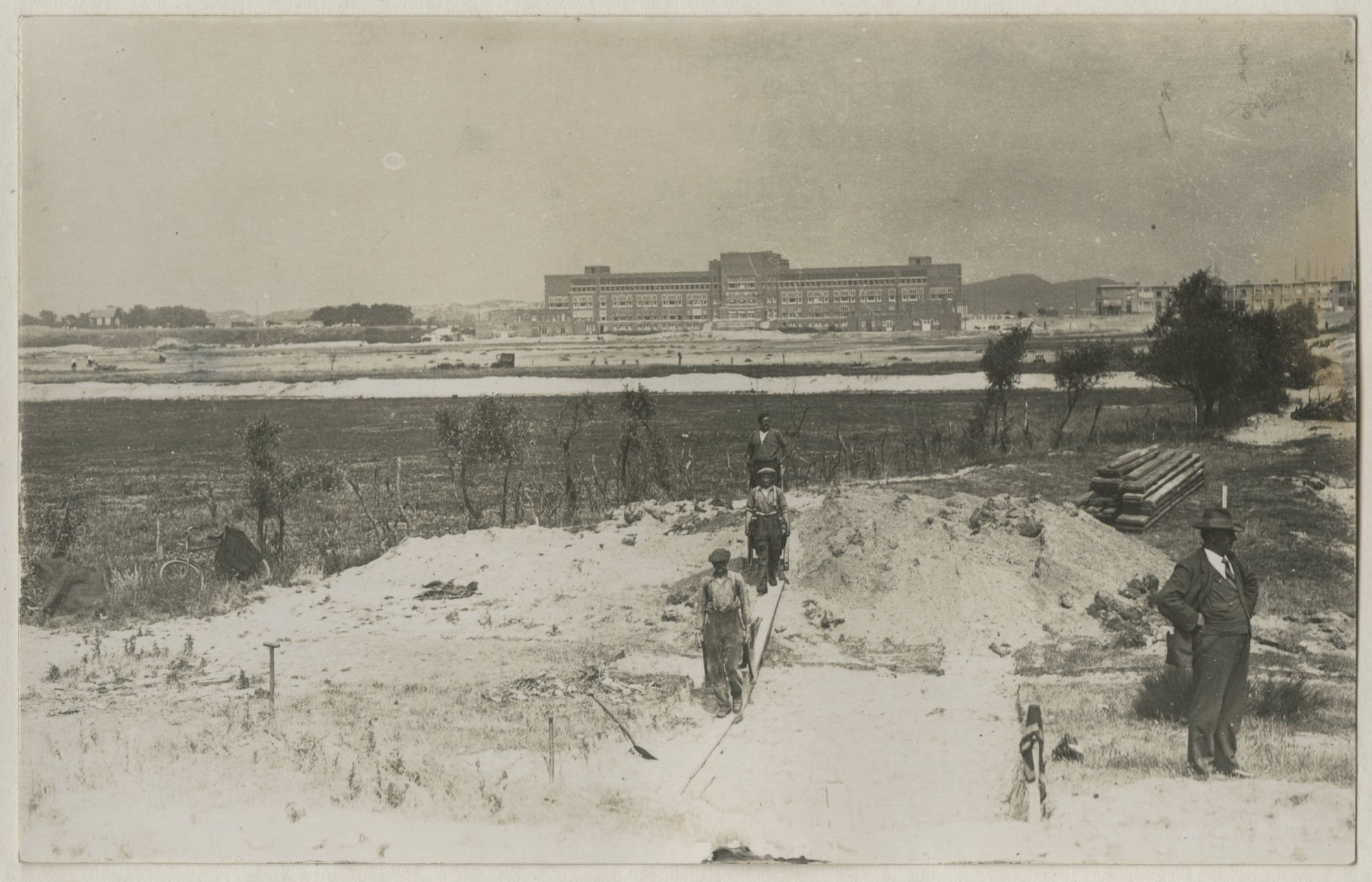
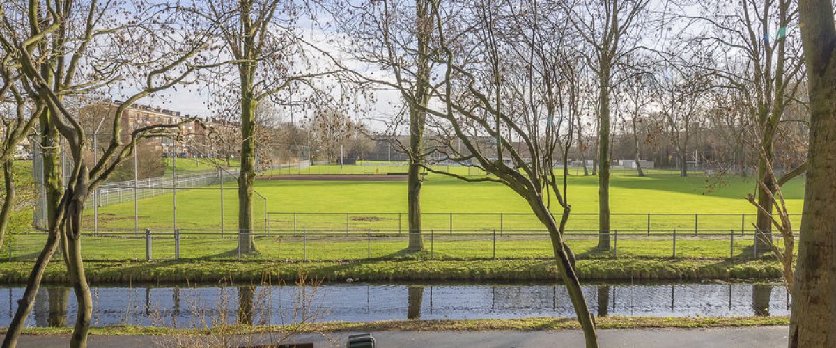
To preserve the area’s rural character, the dunes were not excavated completely, even though this meant forgoing income from the sale of dune sand and made the project more costly. Large sports fields between Rozenstraat and Zonnebloemstraat formed the central element of the plan, with a building for the fourth municipal secondary school on the northerly side. In 1926, a MULO (“more advanced” primary school) and a primary school were built on Zonnebloemstraat.
WW II
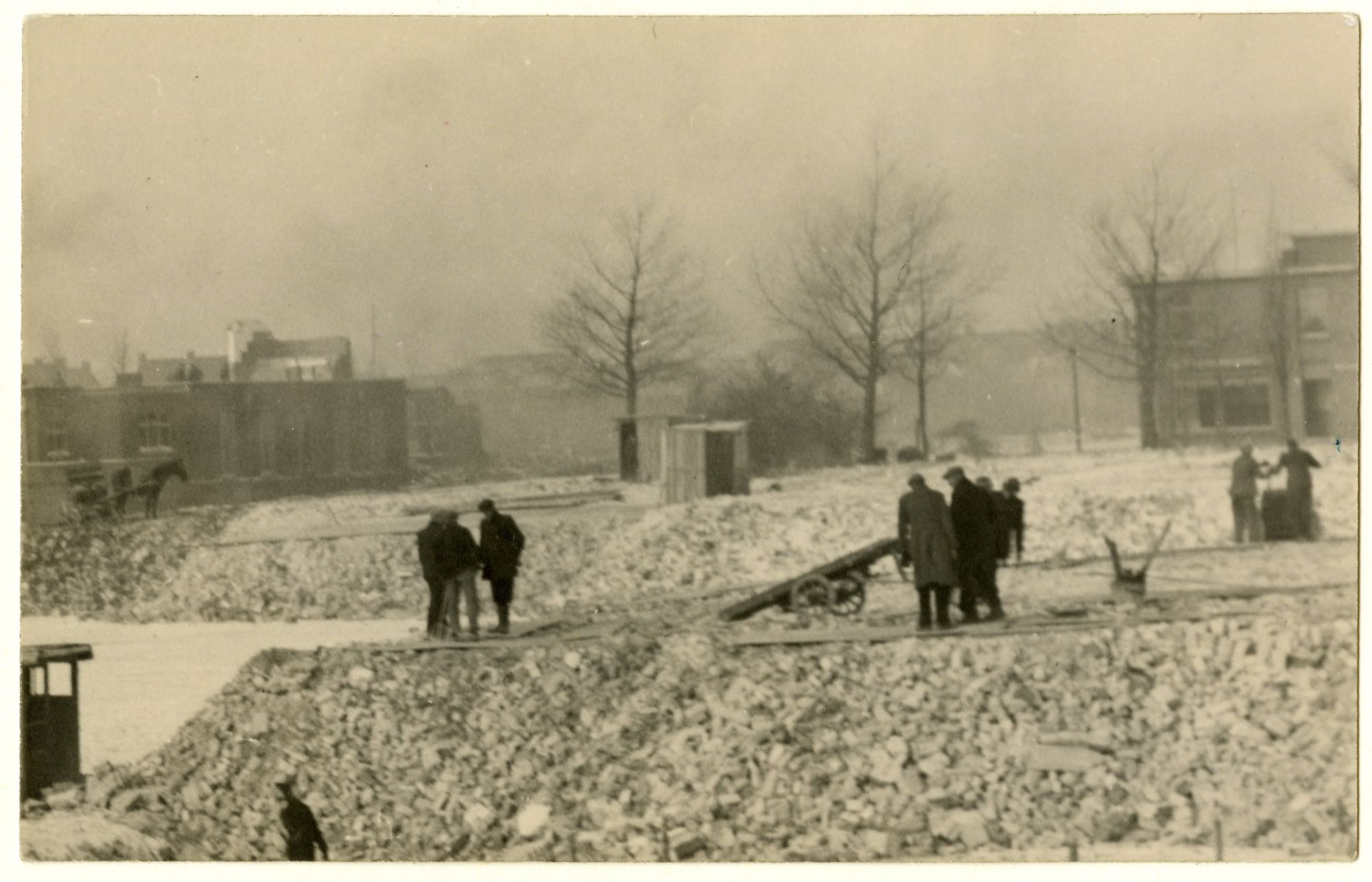
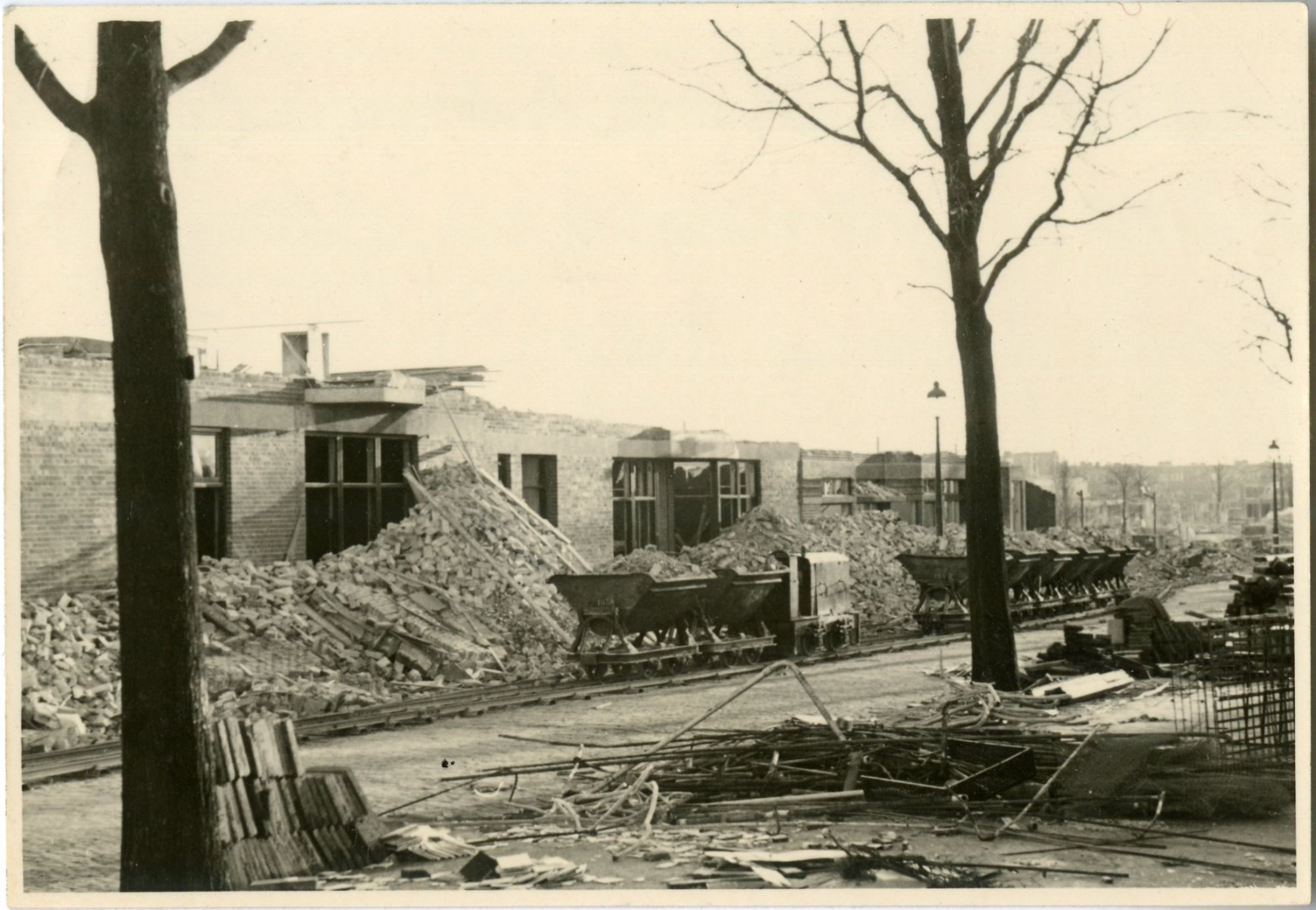
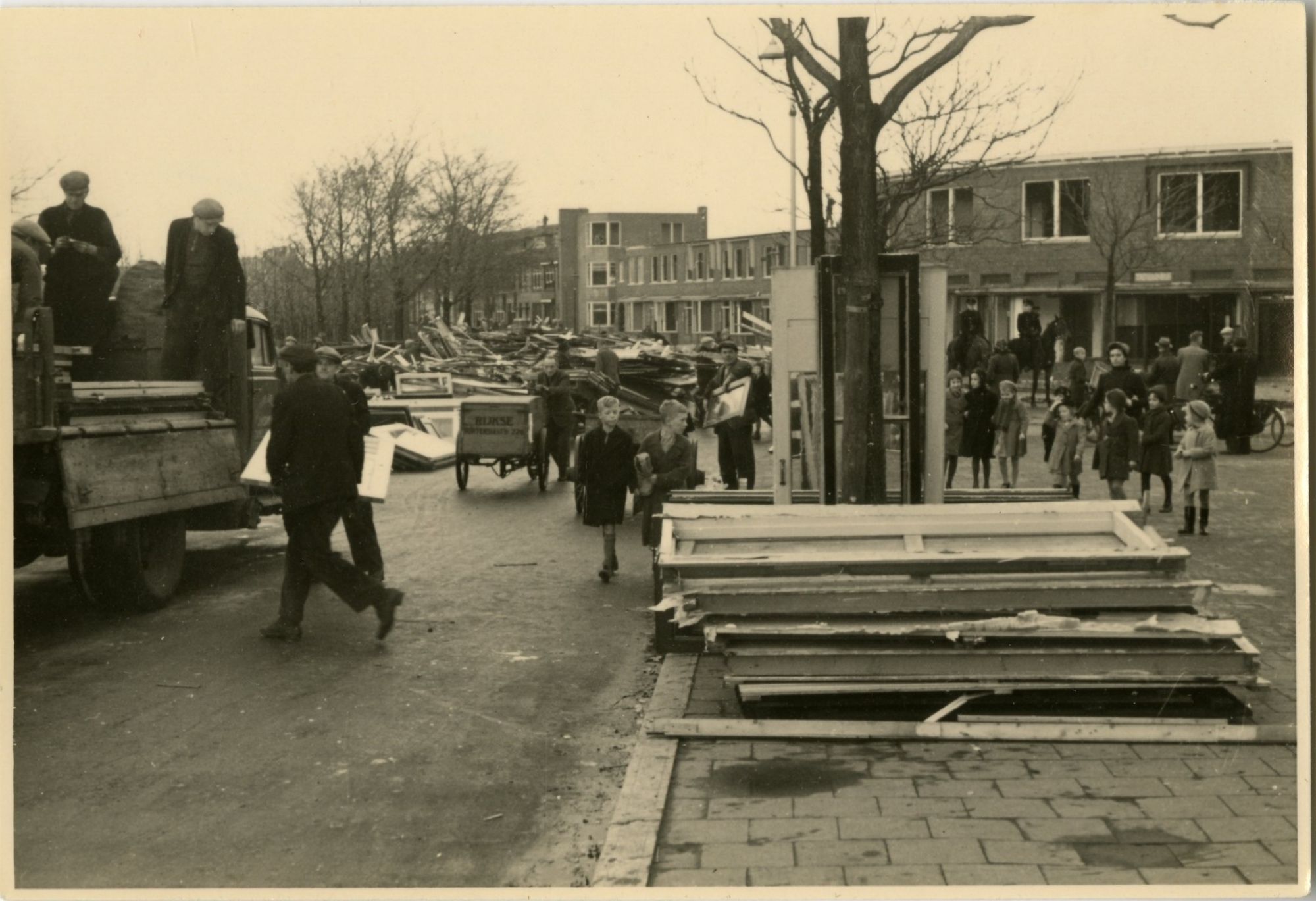
The neighbourhood was badly affected by the construction of the Atlantic Wall in 1942. The secondary school was demolished; part of the inventory went to the Jewish Lyceum, which had opened its doors in Fischerstraat in October 1941. The occupying forces had decreed that Jewish children were only allowed to be taught at special Jewish schools. Building rubble from the area that could not be reused was dumped on Stokroosplein.
Reconstruction
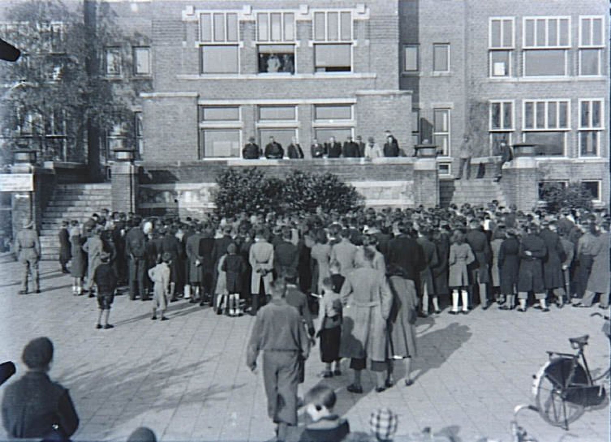
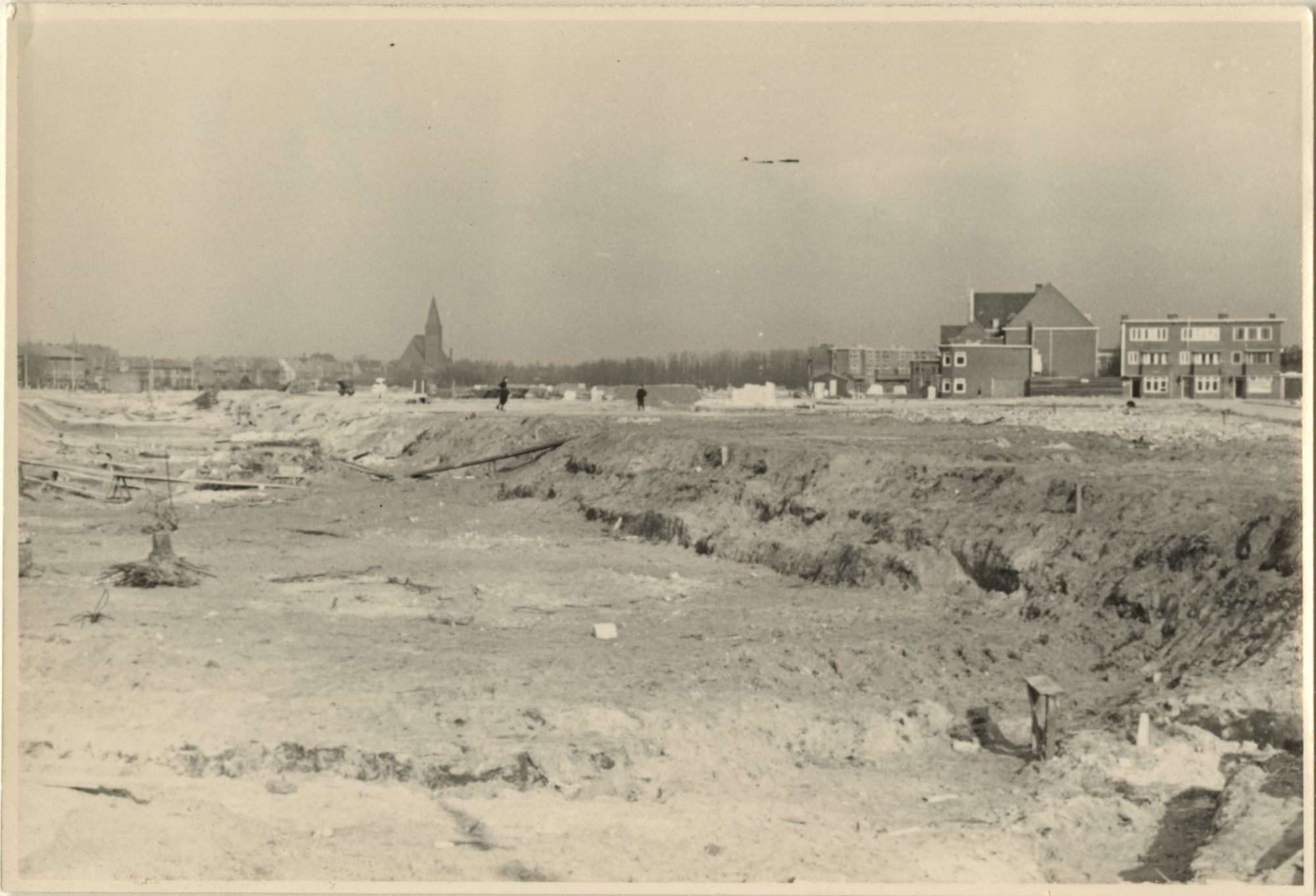
The Stokroosplein area formed part of city architect Dudok’s reconstruction plans. The residents of the houses around the old playing fields objected to the construction of houses and flats, as a result of which they would lose their unobstructed views. To no avail. The ground rent was however reduced as compensation and residents received a one-off payment in recompense. Stokroosplein was never to return; the site where it lay is now part of the sports fields. The secondary school was rebuilt a little further along according to a design by architect Sjoerd Schamhart. It is now a secondary school still, called Segbroekcollege.
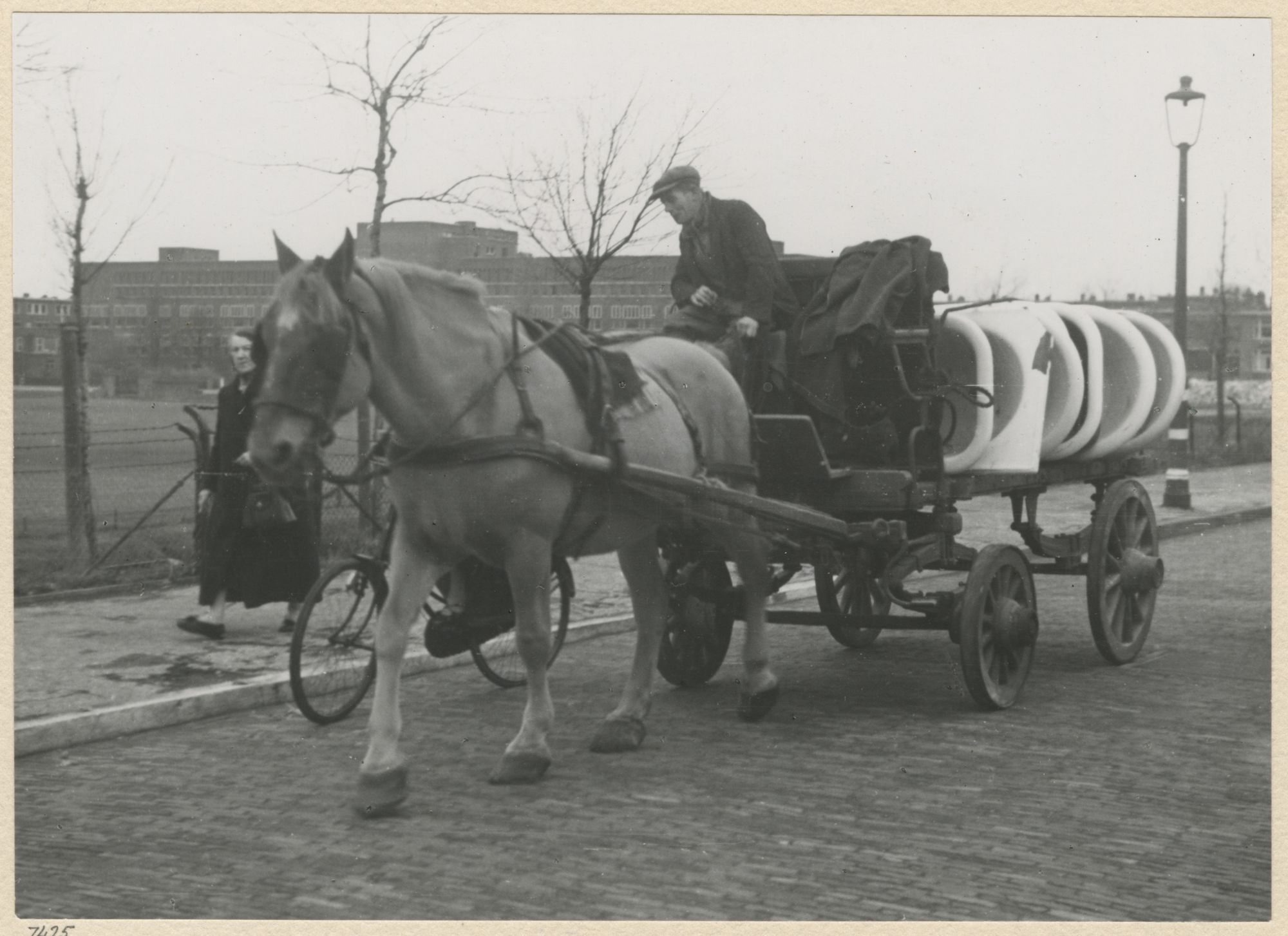
Pictured